Photo Album - Santa Rosa Surveyor
Surveying Services
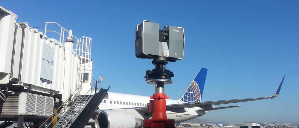
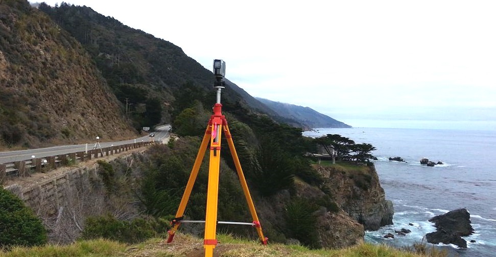
All the services listed create topographic maps whether its from the air by plane, drone, satellite imagery, underwater using hydrographic/bathymetric techniques or on the surface using robotic total stations or HD 3d scanners. Pick your service and let us know how we can assist you.


Click on any thumbnail image to see more pictures.